
Concerns raised by Awakeri locals about future development
Diane McCarthy
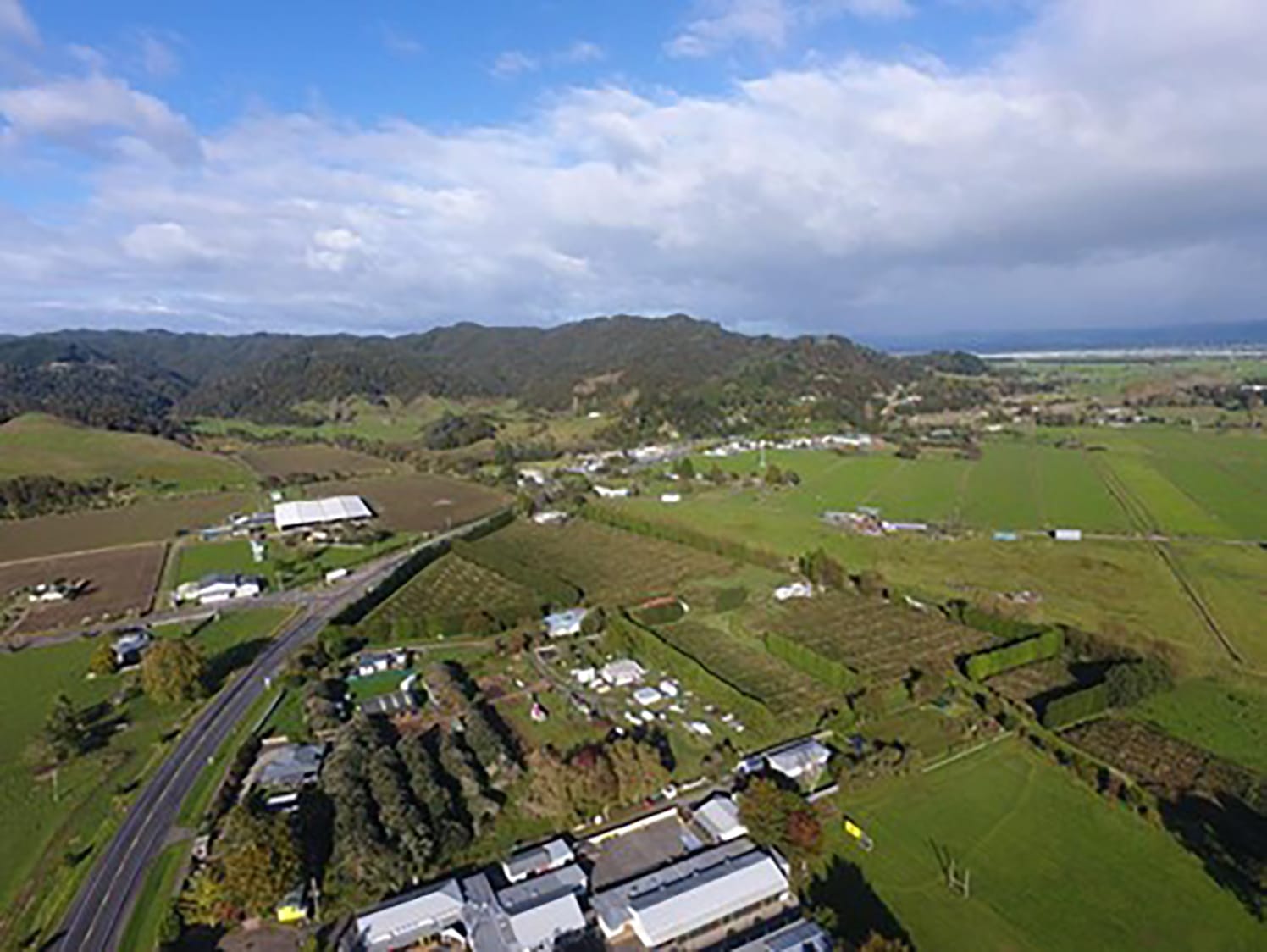
Flood risk, erosion and drain management are among major concerns raised through community sessions about Whakatāne District Council’s Awakeri Structure Plan.
A 33-strong Community Reference Group was established by the council in April to provide early feedback on community values, opportunities, constraints and perceived risks to development of the area for housing.
Two workshops have already been held, the most recent on May 20, with 25 people attending. Two more are planned over coming weeks.
The council was updated on progress at a strategy and policy committee meeting yesterday.
The structure plan has grown out of the Eastern Bay Spatial Plan that Whakatāne, Kawerau and Ōpōtiki councils have created, which speculates that the Eastern Bay could need 5500 more homes by 2055. Awakeri was identified as an area that could support as many as 2000 residential lots.
The Local Growth Strategy for Whakatāne district, adopted earlier in the meeting, also identifies the area as a greenfield development opportunity and actions include developing the structure plan, working with motivated landowners to deliver development and gaining ministerial approval to undertake a district plan change, support fast-track consent applications and prepare to include the structure plan in the Regional Spatial Plan.
Council growth manager Daniel Smith said the latest workshop with the community was a valuable opportunity to test ideas, ask hard questions and bring local knowledge into the planning work.
Group members highlighted stormwater, drainage capacity and uncertainty around flood risk as important issues, including whether existing flood mapping reflected what people saw happening on the ground during significant weather events.
They also noted existing flood infrastructure, river flooding, high tides and the role of the SH30 bridge at Te Rahu as a potential restriction to flood flows.
Mr Smith said that kind of local knowledge was important.
“People living and working in Awakeri see first-hand what happens on the land.”
Reservations were voiced around the scale of growth, capacity of community facilities, such as the school, to meet increased demand, stormwater storage and livestock welfare.
Traffic speed, heavy vehicles, noise, farm vehicles, buses and local traffic sharing the same corridors and safe rural bus stops were identified as important safety issues.
Some members were open to a wider range of housing types, including carefully located higher-density housing, papakāinga and community housing. Others saw opportunities for better walking and cycling connections and using streams and waterways to create attractive public spaces.
A strong message from the group was that the identity of Awakeri mattered.
Members spoke about the importance of retaining the village feel, and reinforcing local identity through key destinations, such as hot pools and markets.
The wider community will have an opportunity to provide feedback during formal consultation on the draft Awakeri Structure Plan in August.
The council has been careful to frame the structure plan as a concept-level, non-statutory framework to avoid risk of the public perception of it being committed to rezoning, development outcomes or infrastructure investment.
